Our hiking trip to Menina Planina!
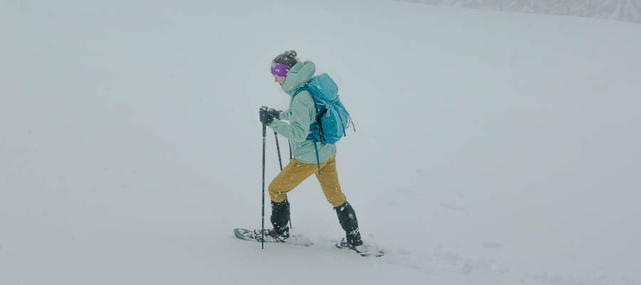
The route is easy and signposted, it can be a touring ski route as we will describe it, or it can be adapted to a snowshoe ascent and a skiboard descent. It can also be a normal winter hike with the right equipment to avoid slipping or sliding in the snow.
INFORMATION
| Time: 2 h | Altitude difference: 420 m | Lowest point: 1000 m |
| Length: 6 km | Average speed: 3 km/h | Highest point: 1450 m |
THE PATH
We drove from Camping Menina towards Gornji Grad, where we turned left at the junction after the petrol station towards Bočna. After 3 km, we turned right at the sign for Dom na Menini and then continued straight along the road until we reached the Usrani klanec sign, where we parked and equipped ourselves for the tour.
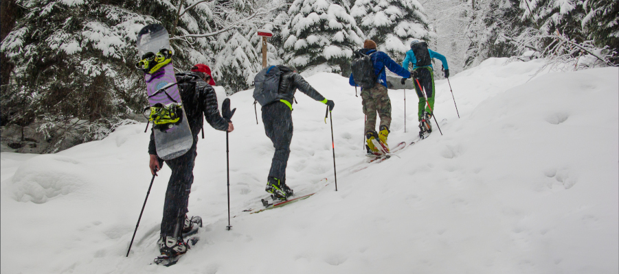
THE ASCENT TO THE TOP
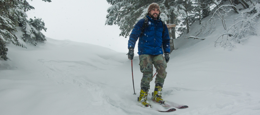
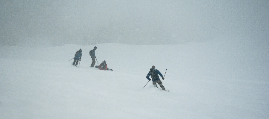
The path turns left off the road into the forest, first along a forest track, then right up a steep forest terrain. At the top of the first part of the trail, you will come to a road, cross it and continue right through the forest to Praga. There, you will find a few meters of descent into a small basin called ‘Bathroom’. There, we were indeed greeted by a toothbrush, a mirror and a brush hanging from a tree. After brushing our teeth, scrubbing and cleaning up, we were ready to take the next few metres along the forest road, and soon, at the signpost, we headed left up towards the top of Menina. After this slope we came back to a small plain, where we kept slightly to the right and after the last steep climb we came to a clearing, from where the summit with the transmitter is already visible. From there, we followed the pegs that mark the way to the hut on Menina, which are helpful as the fog is often thick on the way. When we reached the southern ridge, we continued right up to the transmitter, or the summit. along the stakes to the hut.
THE DESCENT
From the top we descended in the direction of the ascent, except that at ‘The Bathroom’ and across the Prag we continued straight down, along the path that leads through Borovnica. This led us to a road, which we followed down to the right to the starting car park.
IMPORTANT INFORMATION FOR PLANNING ALPINE SKIING IN THE HIGH MOUNTAINS
– It is advisable to get a local guide, especially if you are travelling in the area. a must if you are new to winter conditions and touring skiing.
– Mountaineering skills (attitude, equipment, respect for nature) and knowledge of the terrain in the high mountains is especially important in winter!
– Monitoring mountain conditions: weather, visibility, avalanche levels: http://www.meteo.si/met/sl/weather/bulletin/mountain/avalanche/
– Technique for skiing on unprocessed snow.
– Information on the cross-section of the snow cover.
– Monitor the weather and prepare accordingly; winter temperatures are variable in the high mountains.
Our tour can be accessed at: Komoot – GPS LINK – Download the Komoot app on your mobile phone to link to the route. To activate the route, select “Start Navigation” and the app will give you two options; 1) GPS from where you are and it will take you to the starting point of the climb, 2) or start by navigating the climb itself.
We are always at your disposal for any questions you may have.
Make every step safe and fun.
Winter greetings, Funpark Menina team!