Our hiking trip to Planjava!
The trail is challenging and marked, it can be a touring ski trail as we will describe it, or it can be adapted into a snowshoe ascent and a skiboard descent. It can also be a normal winter hike with the right equipment to avoid slipping or sliding in the snow.
INFORMATION
| Time: 8 – 10h | Altitude difference: 1800 m | Lowest point: 850 mnv |
| Length: 19 km | Average speed: 2 km/h | Highest point: 2320 mnv |
A technically demanding tour.
POT
From the Menina campsite we drove in the direction of Luce, where we turned left for Podvolovljek. We continued straight along the road for about 6 km, and there a sign for Lučka Belo directed us to the right. For the next 300 m we drove on an asphalt road, then turned right at a sharp bend onto a forest gravel road and drove on as long as we could. When the snow on the road made it impossible to continue driving, we parked safely and considerately on the roadside in a suitable place. Ps. Snow chains are recommended.
THE RISE TO THE TOP
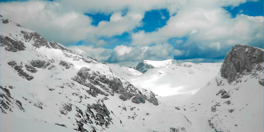
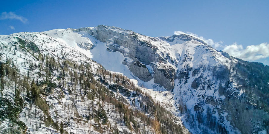
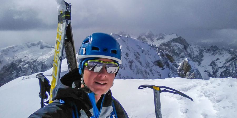
We started the tour on the road and followed it all the way to the red mountain signpost, which pointed us left towards Korošice. The trail is marked, initially following a ridge along a dry riverbed before turning left up a steep bank towards the Presedljaj saddle. If the terrain is too difficult, take off your skis at this point and continue on foot, as the slope is borderline touring. After this slope, the terrain was a bit steeper and the markings were very poorly visible, so we chose logical and well-thought-out passages all the way to the saddle, which we could already see well above the bank. From Presedljaj, a sign pointed us right up to a small peak, where we came to the first marker for the winter trail to Korošica; it is a tall iron stake with an arrow indicating the direction of the trail. In the direction of the arrow we continued up and down the undulating terrain, following the winter pegs. The roundabouts led us to a saddle to the right of Lučki Dedec, from where a small descent followed to a hut on Korošice. We continued left along the slope towards Planjava, the top of which was already visible. Before the last gully leading to Srebrno sedlo, we headed right up the ridge and kept to the ridge, then found a passage back to the left towards the ridge above the summit. The last climb to the top ridge was too steep for skis, so we took them off, put on our skis and climbed to the top, ski poles in hand.
SPUST
We skied down the summit ridge with a ski pole in one hand and an ice axe in the other. From the ridge down we continued along the ascent route, then kept slightly right and headed into the large ravine / slope below Srebrni sedlo, over which we climbed on the ridge on the way up. In the lower part of the ravine, when it flattens out a bit, we put away our snowshoes and skied on with sticks. Below, we started to move left back towards Koroška; we did this quite high up, which made it much easier to cross to the left downhill. From Korošice onwards, we followed the ascent route back to the car.
IMPORTANT INFORMATION FOR PLANNING ALPINE SKIING IN THE HIGH MOUNTAINS
– It is advisable to get a local guide, especially if you are travelling in the area. a must if you are new to winter conditions and touring skiing.
– Mountaineering skills (attitude, equipment, respect for nature) and knowledge of the terrain in the high mountains is especially important in winter!
– Monitoring mountain conditions: weather, visibility, avalanche levels: http://www.meteo.si/met/sl/weather/bulletin/mountain/avalanche/
– Technique of touring skiing in the high mountains, with an axe in hand, on ice, hard snow, couloirs, deep powder.
– Information on the cross-section of the snow cover.
– Monitor the weather and prepare accordingly; winter temperatures are variable in the high mountains.
– For technically demanding peaks, usually higher than 2000 mnv, it is essential to bring ice skis and an ice axe.
– It is highly recommended to take snow chains with you to get as far as possible on the road.
Our tour can be accessed at: Komoot – GPS LINK – Download the Komoot app on your mobile phone to link to the route. To activate the route, select “Start Navigation” and the app will give you two options; 1) GPS from where you are and it will take you to the starting point of the climb, 2) or start by navigating the climb itself.
We are always at your disposal for any questions you may have.
We wish you a beautiful spring, but don’t forget that the high mountains are still a winter idyll!
Sunny greetings, Funpark Menina team!