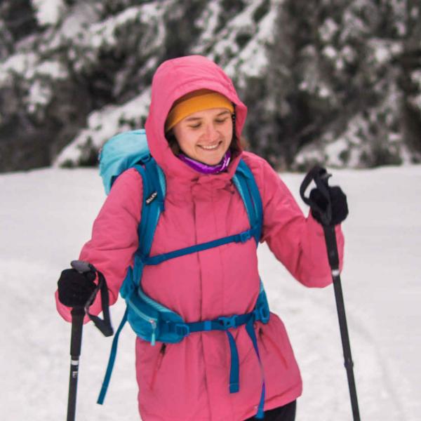


Ski touring - Planjava
Our trip to Planjava!
The trail is technically difficult and marked, it can be a ski tour as we will describe it, but it can be adapted to a snowshoe ascent and a snowboard descent. It can also be a winter hike with appropriate equipment so we do not slip on the snow.
INFORMATION
|
Time:: 8 - 10h |
Altitude difference: 1800 m |
Lowest point: 850 mnv |
|
Length:: 19 km |
Average speed: 2 km/h |
Highest point: 2320 mnv |
Technically difficult ski touring tour.
ROUTE
From Camping Menina we drove in the direction of Luče, where we turned left for Podvolovljek. We continued straight on the road for about 6 km, where the sign for Lučka Bela directed us to the right. For the next 300 m we drove along the asphalt road, then at a sharp bend we turned right, onto a forest macadam road and drove along it as long as we could. When we could not continue driving due to the snow on the road, we safely parked in a suitable place along the road. Ps. Snow chains are highly recommended.
TO THE TOP
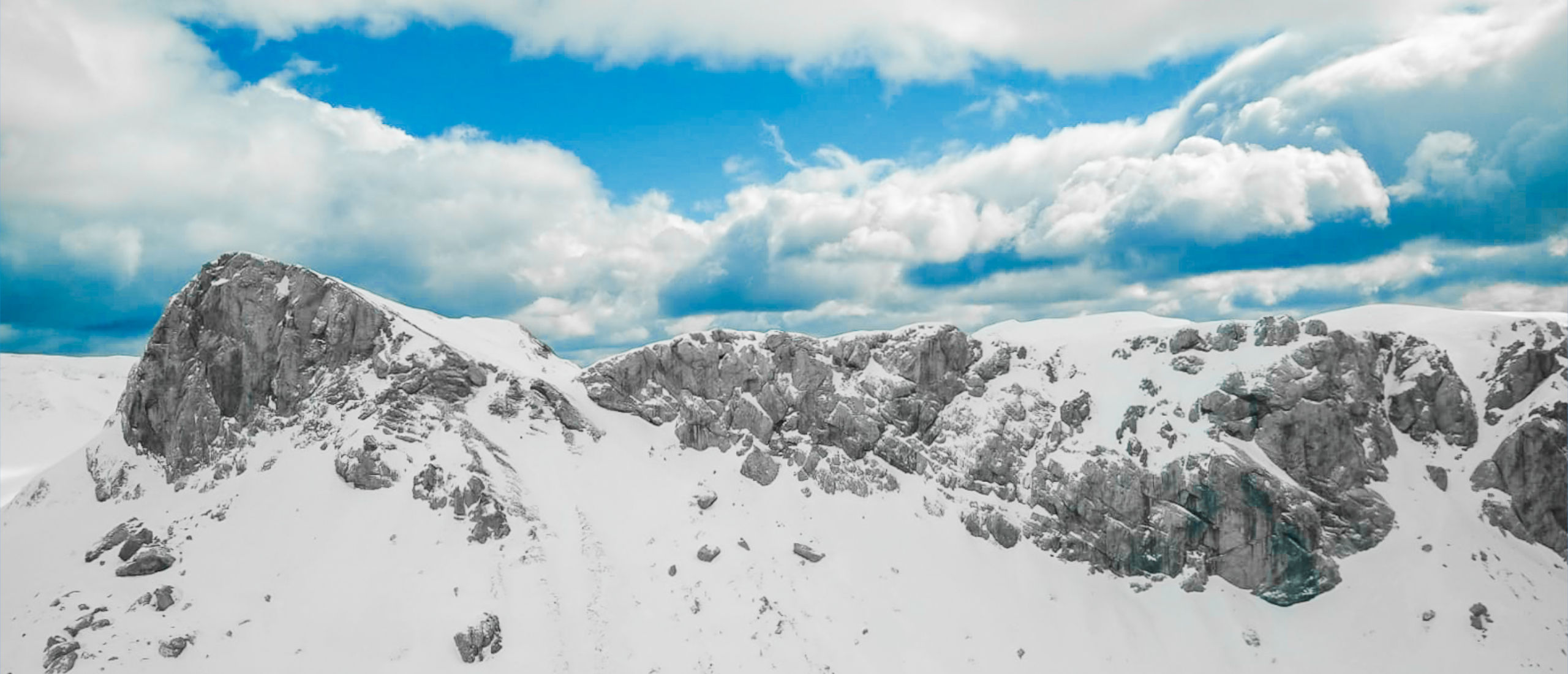
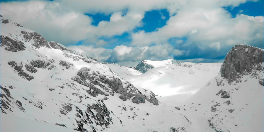
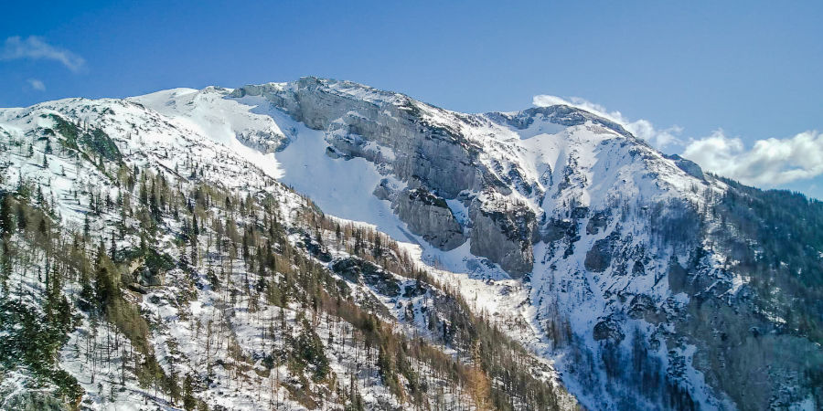
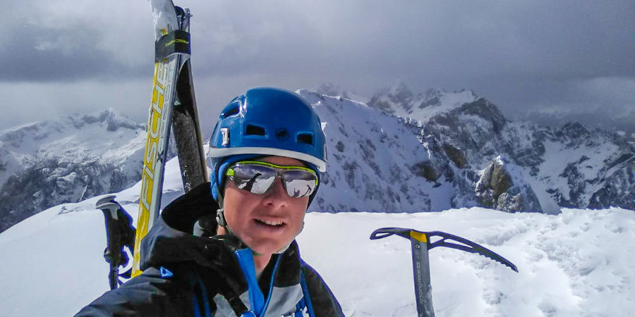
We started our tour on the road and followed it all the way to the red mountain sign, which directed us to the left towards Korošica. The path is marked, at first it runs along the ridge along a dry riverbed, then it turns left into a steep hill towards the Presedljaj saddle. If the terrain is too difficult for us, at this point we take off our skis and continue on foot. For this slope, the terrain was slightly flat, and the markings were hardly visible, so we chose logical and thoughtful transitions all the way to the saddle, which we could already see well above the bank. From Presedljaj, the sign directed us uphill to a small peak, where we came to the first sign for the winter route to Korošica; it is a tall iron peg with an arrow indicating the direction of the path. In the direction of the arrow, we continued along the undulating terrain up and down and followed the winter pegs. The pegs led us to the saddle, on the right of Lučki Dedec, from where a small descent to the hut on Korošica followed. We continued to the left along the slope towards Planjava, the top of which was already visible. In front of the last ravine leading to the Silver Saddle, we headed right uphill and kept to the ridge, then above the top we found a passage back to the left towards the ridge. The last ascent to the top ridge was too steep for the skis, so we took them off, put on the crampons and climbed to the top with an ice ax in hand.
DOWNHILL
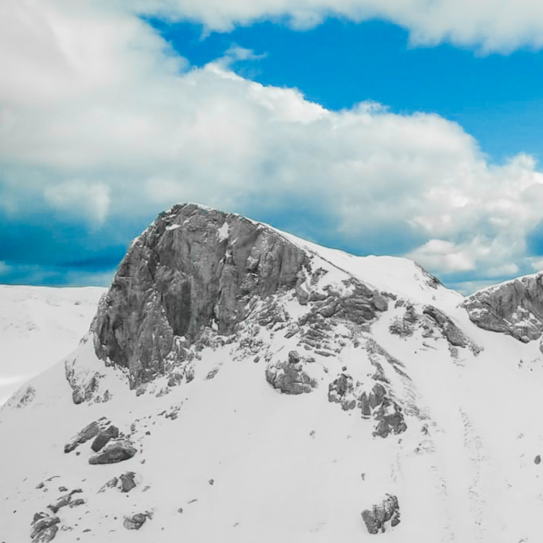
We skied down the summit ridge with a ski pole in one hand and an ice ax in the other. From the ridge down we continued along the ascent path, then kept a little to the right and headed to a large ravine / slope below the Silver Saddle, above which we climbed up the ridge on the way up. In the lower part of the ravine, when it settles a bit, we put away the ice axes and continued skiing with poles. Below, we began to move left back towards Korošica; we did this quite soon, which made it much easier for us to cross to the left downhill. From Korošica we followed the ascent path back to the car.
IMPORTANT INFORMATION FOR SKIING PLANNING IN HIGH MOUNTAINS
- It is recommended that you get a local guide, especially or mandatory if you are a beginner with winter conditions and ski touring.
- Knowledge of mountaineering (attitude, equipment, respect for nature) and knowledge of the terrain in the high mountains is especially important in winter!
- Monitoring of conditions in the mountains: weather, visibility, level of landslides: http://www.meteo.si/met/sl/weather/bulletin/mountain/avalanche/
- Skiing technique on unprocessed snow.
- Snow blanket cross-section information.
- Weather monitoring and appropriate preparation for the tour; in the highlands, temperatures are variable in winter.
- For technically difficult ascents, usually higher than 2000 m above sea level, crampons and an ice axe are a mandatory equipment.
Our tour is available at: Komoot - GPS LINK ROUTES - To connect to the route, download the Komoot application to your mobile phone. You activate the route by selecting the "Start Navigation" option, after which the application offers you two options; 1) GPS from the point where you are and it will take you to the starting point of the ascent, 2) or start with the ascent navigation itself.
We are always available to you for any questions.
We wish you a beautiful spring, but don't forget that the winter in the mountains continuous.
Spring greetings, Funpark Menina team!
 Delite blog na Facebook