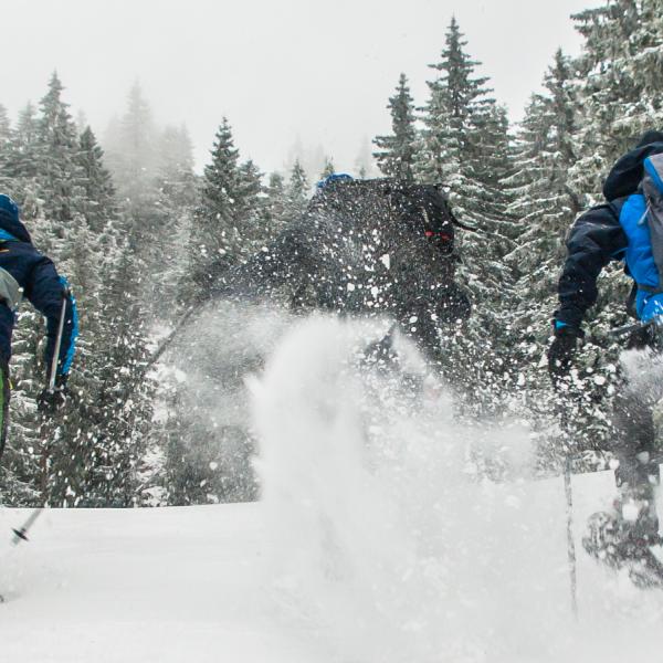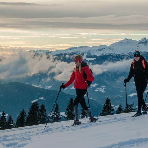


Ski touring - Menina planina
Our tour trip to Menina mountain!
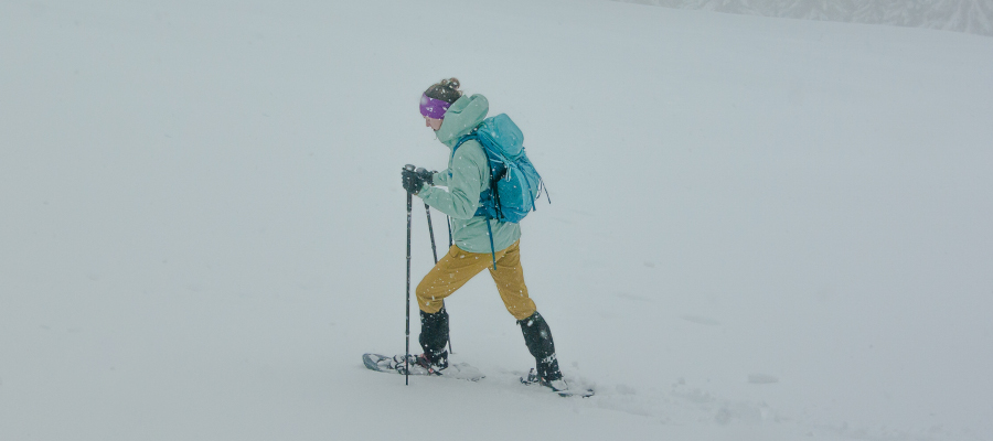
The trail is easy and marked, it can be a ski tour as we will describe it, but it can be adapted to a snowshoe ascent and a snowboard descent. It can also be a winter hike with appropriate equipment so we do not slip on the snow.
INFORMATION
|
Time: 2 h |
Altitude differance: 420 m |
Lowest point: 1000 m |
|
Length: 6 km |
Average speed: 3 km/h |
Highest point: 1450 m |
TOUR
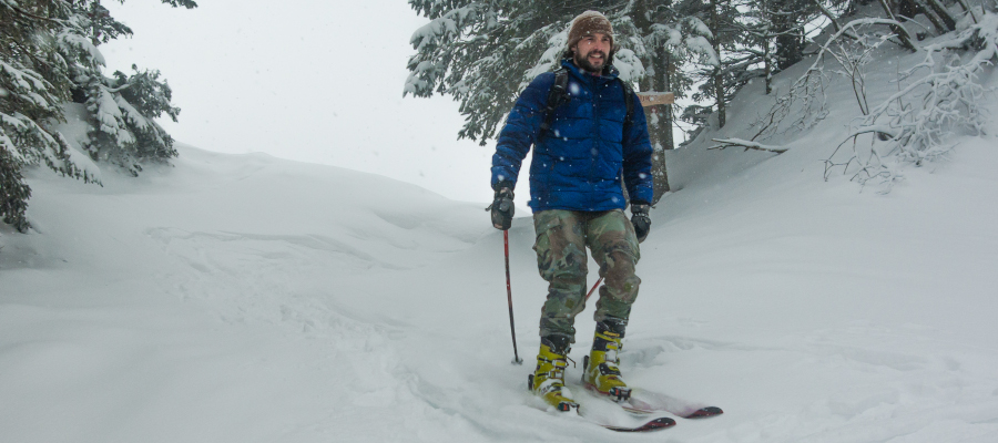
In the direction from Camping Menina, we drove towards Gornji Grad, where we turned left towards Bočna at the crossroads for the petrol station. After 3 km at the sign for Dom na Menini, we turned right and then continued straight along the road to the sign Usrani klanec, where we parked and equipped ourselves for the tour.
TO THE TOP
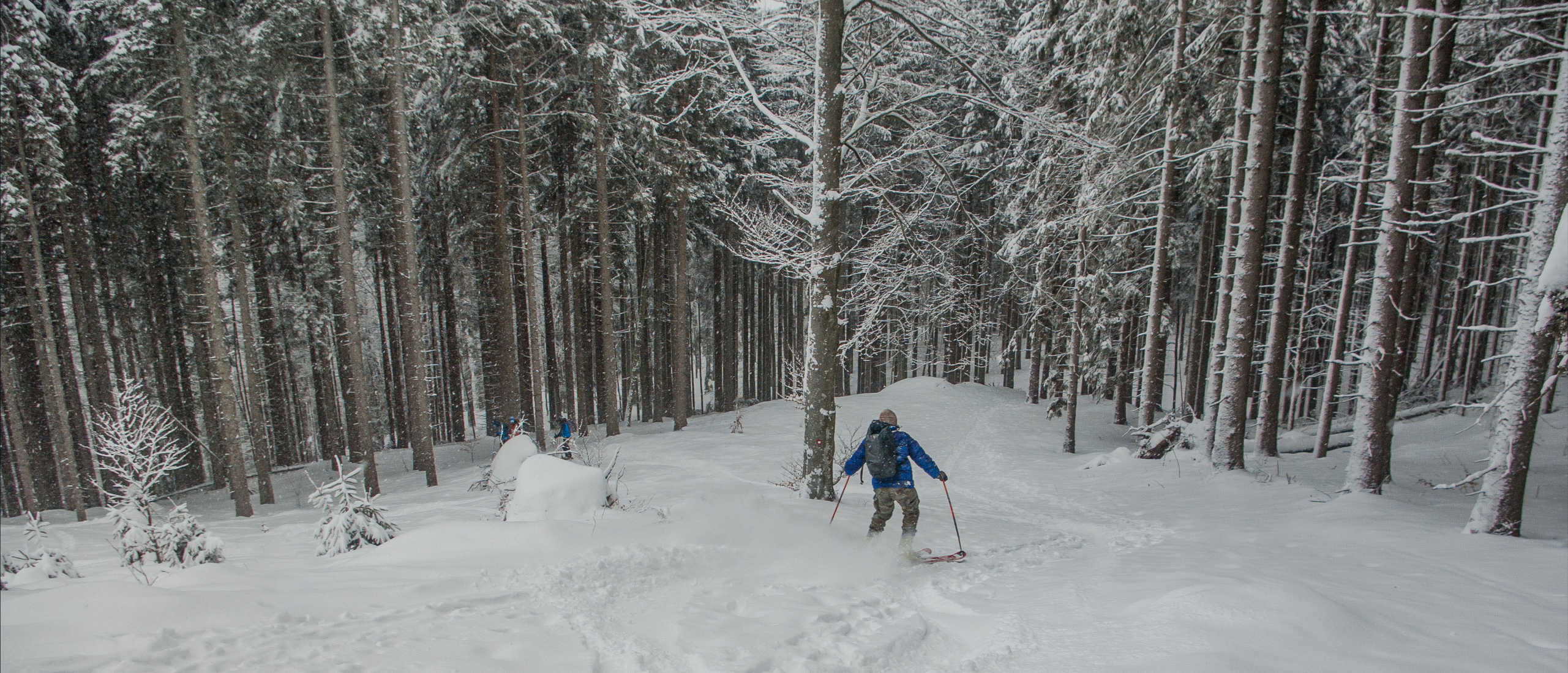
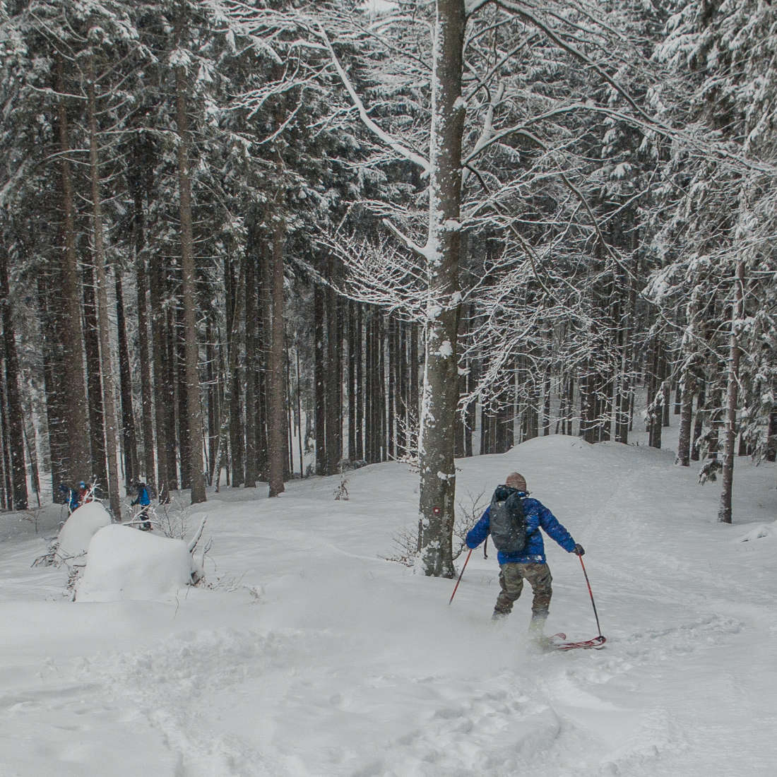
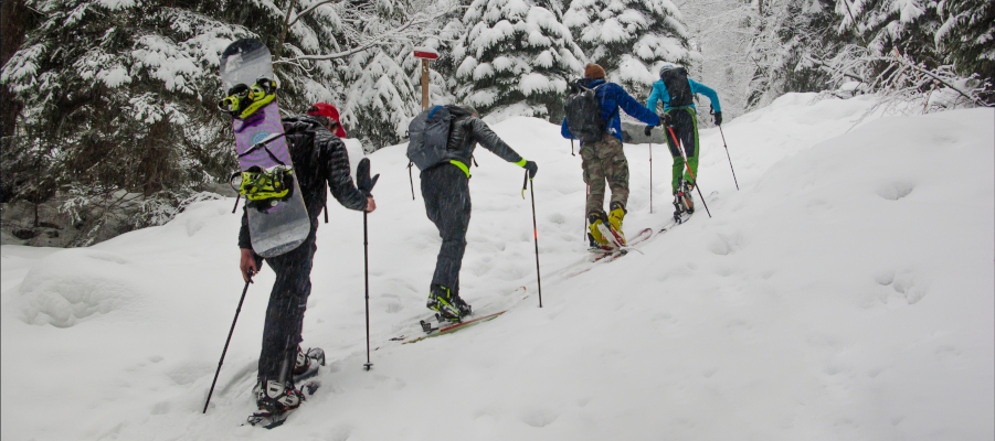
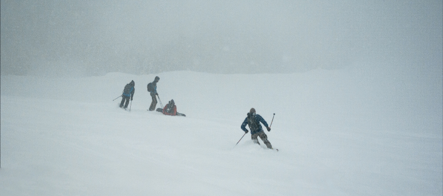
The path branches off from the road to the left into the forest, first along the forest track, then right up into the steep forest terrain. At the top of the first part of our tour we came to the road, cross it and continue right through the forest. There, a few meters of descent into a small basin called the Kopalnica (Bathroom) awaits us. We were really greeted by a toothbrush, a mirror and a brush hanging on a tree. After brushing our teeth and making our hair we were ready for the next few meters along the forest road, and soon at the sign we headed left up towards the top of Menina. After this slope we came again to a small plane, where we kept slightly to the right and after the last steep ascent we came to a clearing, from where the top with the transmitter is already visible. From there we followed the pegs that mark the way to the hut on Menina and are helpful, as there is often a thick fog on the way. When we reached the southern ridge, we continued right up to the transmitter, or to the hut.
DOWNHILL
From the top we descended in the direction of the ascent, only at Kopalnica we continued straight down, along the path that lead us across Borovnica. This borught us to the road, along which we descended right down to the parking lot.
IMPORTANT INFORMATION FOR SKIING PLANNING IN HIGH MOUNTAINS
- It is recommended that you get a local guide, especially or mandatory if you are a beginner with winter conditions and ski touring.
- Knowledge of mountaineering (attitude, equipment, respect for nature) and knowledge of the terrain in the high mountains is especially important in winter!
- Monitoring of conditions in the mountains: weather, visibility, level of landslides: http://www.meteo.si/met/sl/weather/bulletin/mountain/avalanche/
- Skiing technique on unprocessed snow.
- Snow blanket cross-section information.
- Weather monitoring and appropriate preparation for the tour; in the highlands, temperatures are variable in winter.
Our tour is available at: Komoot - GPS LINK ROUTES - To connect to the route, download the Komoot application to your mobile phone. You activate the route by selecting the "Start Navigation" option, after which the application offers you two options; 1) GPS from the point where you are and it will take you to the starting point of the ascent, 2) or start with the ascent navigation itself.
We are always available to you for any questions.
Stay safe and have fun!
Greetings, Funpark Menina team!
 Delite blog na Facebook